


Hurricane Trudy is weakening rapidly in the Pacific, well off the Mexican shore. At National Hurricane Center advisory 23, 8 p.m. MST Sunday 18 October (03:00 UTC Monday), the centre was at 19.7 N, 107.6 W — about 355 km west-northwest of Manzanillo and 215 km west-southwest of Cabo Corrientes. Maximum sustained winds: 80 mph, 130 km/h. Pressure: 984 mb. There are no coastal watches or warnings in effect.
This is not a landfall. The NHC sees a northwest track at 7 mph, then a turn west-northwest or west. The centre is expected to move farther from mainland Mexico overnight and pass south of Baja California Sur on Monday and Tuesday. Rapid weakening continues; by Tuesday night Trudy could degenerate into a post-tropical low. That is a forecast, not a fact already on the ground.
On Sunday morning, when winds were still around 100–105 mph, CBS and CNBC, on an AP wire, wrote that rain and wind had already reached the western and south-western coast, on ground soaked by Hurricane Simon. The Mexican navy asked for caution over waves, rivers and slides. Colima authorities then spoke of low risk but saturated soil. Those were morning messages; the evening advisory has lifted the warnings.
Rain still to come, the NHC says, is an extra 1–2 inches overnight on the Jalisco coast. That is not the same as the 4–8 inches, isolated 12, advertised for the weekend in Michoacán, Colima and Jalisco. Slides on steep ground remain possible where the soil is wet. We do not have, in these advisories, a death toll or a count of wrecked houses.
Swell from Trudy will last two to three days on the south-western and west-central shore. The NHC files that under dangerous surf and rip currents, not under a hurricane on land. Hurricane-force winds reach only about 35 km from the centre; tropical-storm winds, 150 km — still offshore, on the evening fix.
Interests in south-western and west-central Mexico, and in Baja California Sur, should still watch the next advisory, due at 2 a.m. MST. SCMP had billed a flood threat; the evening threat is smaller than the morning headline. We are not mixing in Typhoon Champi near Guam: different basin, different system.
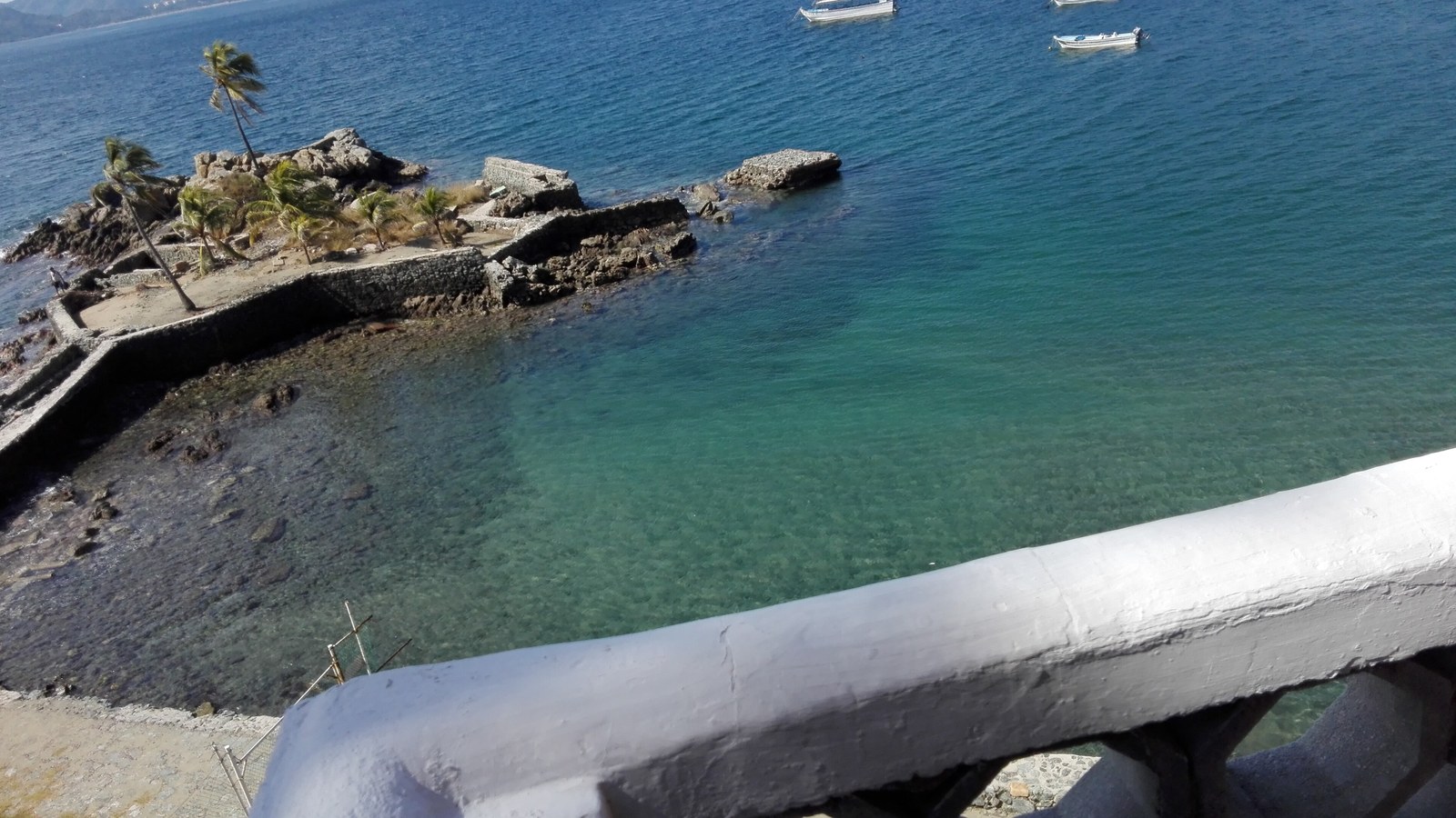
Image: Ale Ramos M, Bahía de Santiago, Manzanillo, Colima, 18 December 2017, CC BY-SA 4.0, Wikimedia Commons. Not Hurricane Trudy’s eye.
Sources consulted: Hurricane Trudy Public Advisory — National Hurricane Center; Hurricane Trudy may bring "life-threatening" flooding, mudslides to Mexico's Pacific coast — CBS/AP.







0 Comments
No comments on this article yet. Be the first!