


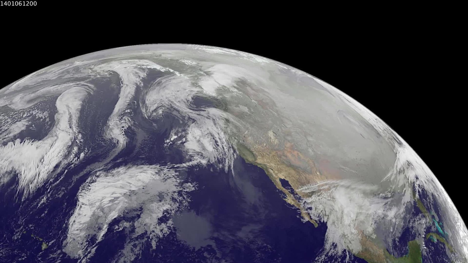
Meteorologists warn that the polar vortex — the vast circulation of cold air over the Arctic — is weakening several weeks earlier than expected, raising the risk of cold snaps across the Northern Hemisphere. The impact on the coming winter remains uncertain, G4Media reports, citing Euronews.
The vortex normally strengthens through autumn, peaks around January and eases toward late winter. Major disruptions that let Arctic air spill south usually occur between January and March. This year, researchers are seeing signs of destabilisation as early as November.
Professor Andrew Charlton-Perez of the University of Reading said scientists have not previously recorded such an early-season sudden stratospheric warming in modern observations. When the vortex weakens or shifts, the jet stream can buckle and allow Arctic air to reach lower latitudes.
In the weeks ahead, parts of Europe, North America and Asia could see colder spells. For northern and central Europe — including Scandinavia, the British Isles, Germany and Poland — the odds of colder periods may rise if the signal propagates into the troposphere.
Effects can take several weeks to reach the lower atmosphere where weather systems form; the outcome also depends on the placement of high- and low-pressure systems. Researchers are watching a strong El Niño in the Pacific, which can reshape atmospheric circulation and the polar vortex.
Climate change is cited as a factor that may alter atmospheric processes, without a proven direct link to this exceptionally early disruption. Forecasters will keep monitoring: the coming weeks should clarify whether the signal translates into meaningful winter-weather changes.
Source: Polar vortex weakening weeks earlier than expected (G4Media)




0 Comments
No comments on this article yet. Be the first!