


Typhoon No. 30, large and very strong, was moving west on Monday 19 October in the seas south of Japan. FNN writes that between 21 and 22 October it may reach “violent” intensity and that an approach to Okinawa remains possible. A Honshu landfall is, on the same reading, unlikely: the track leans toward Taiwan. That is not a fact on the shore; it is a Monday-morning forecast.
The NHK track spoke of high waves in Okinawa from 21 October. Weather Map, on Sunday, used the same calendar: from Monday, swell on Okinawa, Amami and the Ogasawaras; from Wednesday, a risk of warning-level waves; Thursday–Friday, that probability marked “high”. Amami may join on Thursday. Ship moorings, the forecaster said, are better done early in the week. Swell can arrive without the eye overhead.
On Sunday morning at 9 a.m., the same briefing put the centre in the Marianas: 945 hPa, maximum winds 50 m/s, a small, clear eye. The forecast then: Friday 23 October, still very strong, south of Okinawa. The chance of entering the storm-force zone by Friday, in Yaeyama, was coloured 5–30 per cent: Taketomi 13, Ishigaki 8, Yonaguni 6. Those figures are JMA’s, quoted on Sunday; FNN on Monday did not reprint them identically.
FNN notes that last week Japanese, American and European models split: one arm toward Honshu, another toward the continent. On Monday the agencies had almost aligned on the western route, Taiwan–China. October typhoons also have this “royal road”, along the southern edge of a high. That does not cancel Okinawa: FNN still sees an approach to the Sakishima islands around the 23rd.
Honshu is not spared rain even if the eye goes by. Weather Map and FNN speak of the autumn front and of a “gap” in the high around 21 October, in which warm, moist air from the typhoon can feed the rain. Kyushu is named as a place to watch. We have not treated that as a JMA warning already in force for the whole archipelago.
NHK, the ledger’s track, could not be extracted in full (the page hung). The facts held here are FNN of 19 October and the Weather Map briefing of the 18th. We are not mixing in Typhoon Champi near Guam. This is not a landfall and not a casualty list. The next step is a JMA advisory, not a headline.
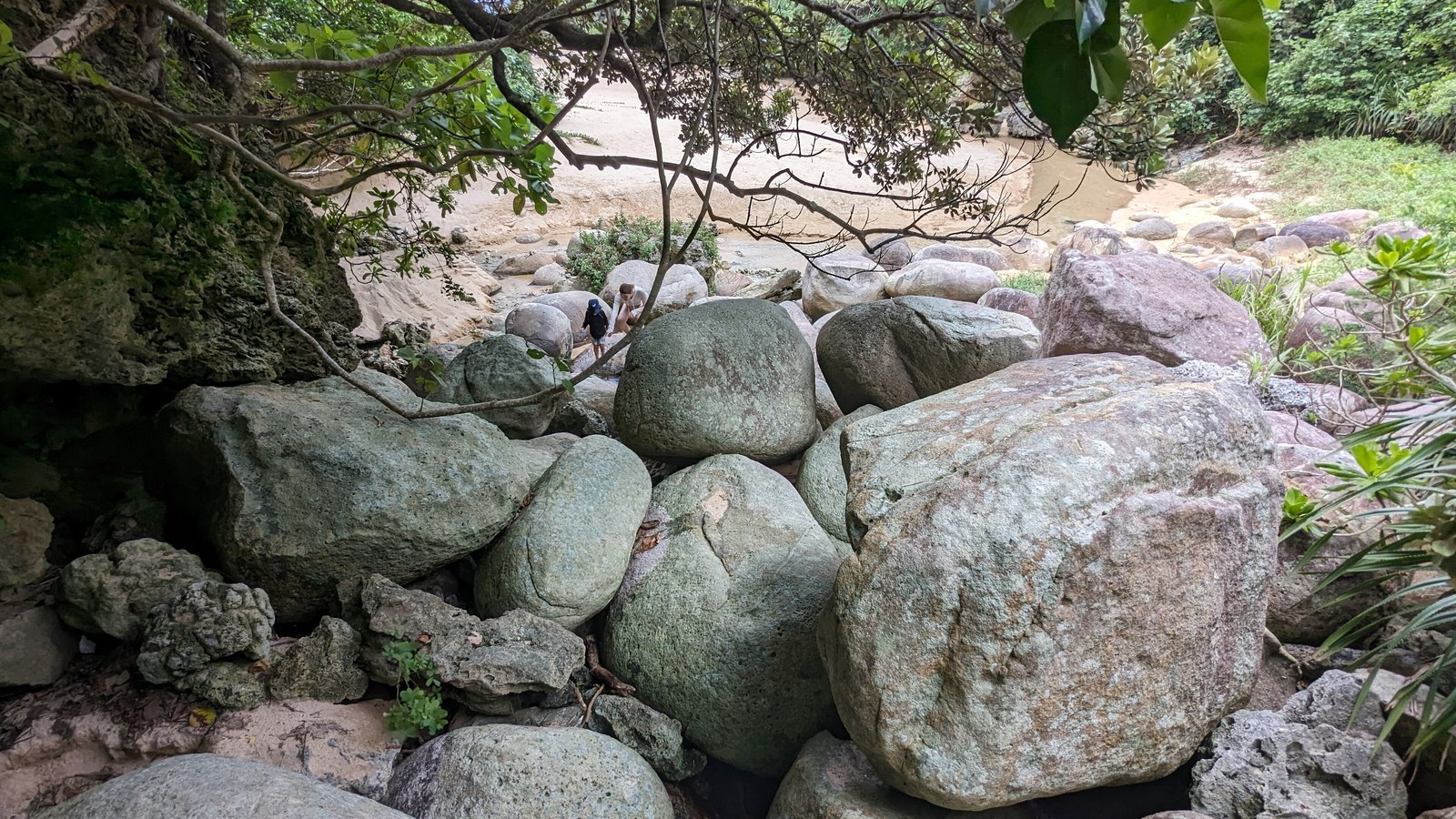
Image: Syced, Crystal Beach, Ishigaki, 16 August 2023, CC0, Wikimedia Commons. Not Typhoon 30’s swell.
Sources consulted: 台風30号はもう一つの「王道ルート」で台湾方面へ — FNN; 非常に強い台風30号 来週後半、沖縄は警報級の高波に — Weather Map / Yahoo.








0 Comments
No comments on this article yet. Be the first!