


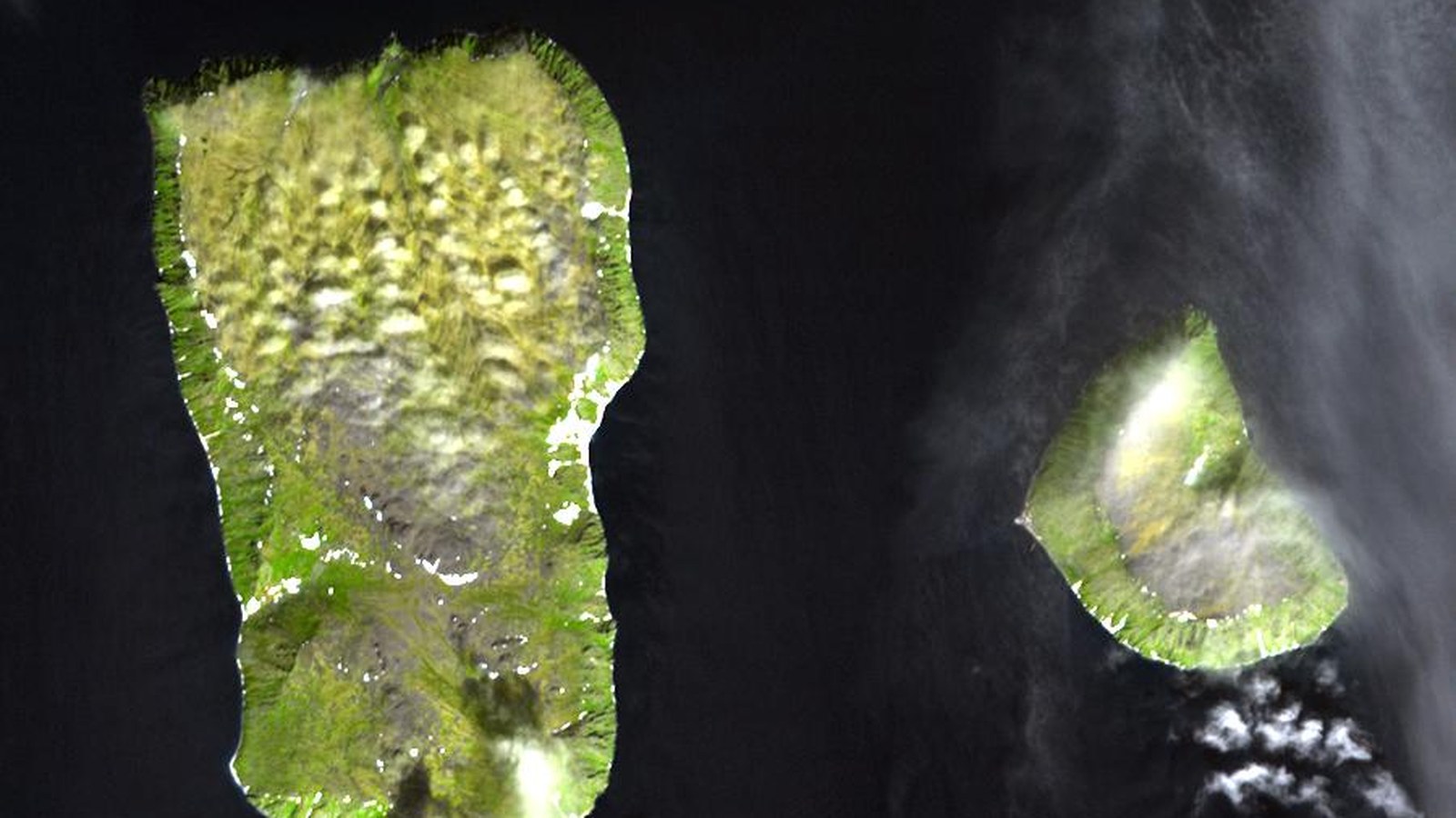
On 1 June 1990, the United States and the USSR sign the Agreement on the Maritime Boundary — the Baker–Shevardnadze line in the Bering Strait and Chukchi Sea.
Signatories: Secretary of State James Baker and Soviet Foreign Minister Eduard Shevardnadze. The line starts at 65°30′N, 168°58′37″W and follows the meridian north into the Arctic Ocean, and south along geographic positions in the agreement.
Delimitation builds on the 1867 Alaska Purchase Convention, adapted to 200-mile zones. The U.S. Senate consented to ratification in 1991; the Russian Duma has not ratified, but the agreement has been provisionally applied since signature.
Russian critics cite fishing losses in the Bering Sea; Lavrov nonetheless defended the deal in 2024. Alaska contested the lack of state consultation.
For the North Pacific, 1 June 1990 fixes the still-applied Russia–United States maritime boundary practice.
The official text appears in U.S. Department of State collections.
The maritime boundary agreement of 1 June 1990 remains the Baker–Shevardnadze line between Russia and the United States.
Image: Bering Strait; Wikimedia Commons. Cropped to 16:9.
Source consulted: USSR–USA Maritime Boundary Agreement. Treaty text: USA/USSR Maritime Boundary Agreement (State.gov PDF).






0 Comments
No comments on this article yet. Be the first!