
On 19 September 1960, in Karachi, Indian Prime Minister Jawaharlal Nehru and Pakistani President Mohammad Ayub Khan signed the Indus Waters Treaty. The International Bank for Reconstruction and Development signed for the limited tasks set out in the text. Negotiations had lasted nearly a decade, at the initiative of Bank president Eugene Black.
The agreement divided the use of a river system on which irrigation and power for millions of people depend. The eastern rivers Ravi, Beas and Sutlej were allocated mainly to India. The western rivers Indus, Jhelum and Chenab were reserved mainly for Pakistan, with specified Indian uses allowed under detailed conditions.
The treaty created the Permanent Indus Commission, one commissioner from each country, data exchange and a ladder of mechanisms for questions, technical differences and disputes. The World Bank is not a general umpire: its role is that of facilitator for certain procedures, not governor of the river.
Entry into force came on 12 January 1961, with retroactive effect from 1 April 1960, after the exchange of instruments of ratification. The document survived wars and crises between the two states and was often cited as an example of water diplomacy. Hydroelectric projects and readings of its clauses nevertheless produced repeated disputes.
In April 2025 India announced that it was holding its participation “in abeyance” after the Pahalgam attack, until Pakistan, in New Delhi’s wording, credibly ends support for cross-border terrorism. Pakistan contested the step. The World Bank said it does not opine on sovereign decisions and does not “fix” the treaty over the parties’ heads.
The 66th anniversary has to be held on two planes: the 1960 content and today’s political contest. This text does not claim that the agreement has legally ceased. It states that its implementation is, in 2026, a matter of tension, not an automatic routine.
The World Bank fact sheet and the UN treaty series remain the starting points for what was signed in Karachi. The rest — storage, power stations, hydrological data — belongs to the current positions of the two governments, which do not coincide.
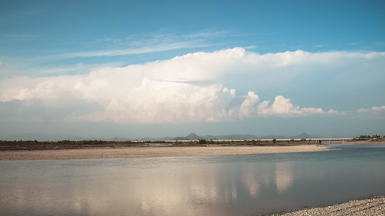
Image: the Indus River / Wikimedia Commons. A river landscape, not the signing table in Karachi. Cropped to 16:9.
Source consulted: The Indus Waters Treaty 1960 and the Role of the World Bank | World Bank; The Indus Waters Treaty 1960 | United Nations Treaty Series.







0 Comments
No comments on this article yet. Be the first!