


The Treaty between the Federal Republic of Nigeria and the Republic of Equatorial Guinea concerning their maritime boundary was signed in Malabo on 23 September 2000 by Presidents Olusegun Obasanjo and Teodoro Obiang Nguema Mbasogo. The English and Spanish texts, two originals of each, are equally authentic. It is not the 2002 Abuja Protocol implementing Article 6.2, which was registered separately. The preamble ties the delimitation to neighbourly relations and peace on the continent and announces a partial exclusive-economic-zone boundary south and west of Point (i), with the sector north and east to be settled later.
Article 1: the object is the partial maritime boundary described in Article 2 and the remainder, under Article 3. Article 2 draws, southwards and westwards from Point (i), ten points joined by geodetic straight lines, on WGS-84 (Article 5). The coordinate list remains in the authentic text; the article is not a drilling itinerary. Article 3: the sector north and east of Point (i) is to be recorded in a protocol after the maritime aspects of the Nigeria–Cameroon case before the International Court of Justice have been completed.
Article 4: north and west of the line, Equatorial Guinea shall not claim or exercise sovereign rights or jurisdiction over the waters, seabed or subsoil; south and east, Nigeria likewise. Article 6: if the line runs through a hydrocarbon field, the Parties shall seek unitisation arrangements; in an area formed by four of the Article 2 points, government entities and concession holders may agree such arrangements, which are not effective until the Treaty enters into force. The clause is a framework, not a production guide.
Article 7: ratification; entry into force on the exchange of instruments — 3 April 2002, according to the DOALOS list. Until then, provisional application from the date of signature, subject to review if the Article 6.2 arrangements are not agreed within a reasonable time. Article 8: registration with the Secretary-General of the United Nations, under Article 102 of the Charter.
The text consulted is the DOALOS treaty PDF. The instrument delimits a portion of the Bight of Bonny, between the Nigerian mainland and Bioko, taking established economic interests into account rather than a pure equidistance line.
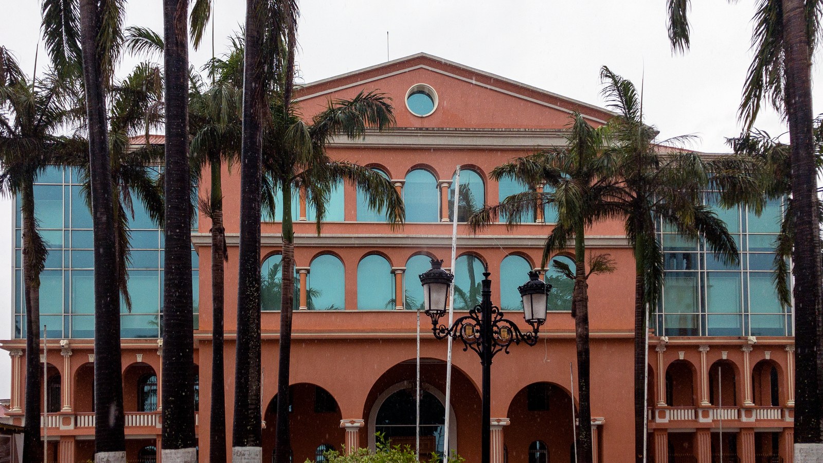
Cover: the presidential palace in Malabo, the place of signature by the two heads of State; we do not claim the hall. Wikimedia Commons, free licence.
Sources consulted: Equatorial Guinea–Nigeria Maritime Boundary Treaty; Treaty between Nigeria and Equatorial Guinea concerning their maritime boundary (DOALOS).






0 Comments
No comments on this article yet. Be the first!