


On 23 November 1970, at Mexico City, the United States of America and the United Mexican States signed the Treaty to Resolve Pending Boundary Differences and Maintain the Rio Grande and Colorado River as the International Boundary. English and Spanish, equally authentic. Plenipotentiaries: Ambassador Robert H. McBride and Secretary of Foreign Relations Antonio Carrillo Flores. Article IX: ratification in accordance with each Contracting State’s constitutional processes; instruments of ratification shall be exchanged in Washington as soon as possible; it enters into force on the date of the exchange. Entry into force: 18 April 1972. It is not the 1963 Chamizal Convention and not the 1933 Rectification Convention.
The preamble: to resolve all pending boundary differences; restore to the Rio Grande its character of international boundary in the reaches where that character has been lost; minimize changes in the channels; resolve problems relating to sovereignty over existing or future islands; delimit clearly their maritime boundaries in the Gulf of Mexico and in the Pacific Ocean. Article I: relocate the channel in the Presidio–Ojinaga area so as to transfer 1,606.19 acres (650 hectares) from north to south; upstream from Hidalgo–Reynosa, 481.68 acres (194.93 hectares) from south to north, in recognition that the Horcon Tract and Beaver Island, south of the river, pass to Mexico; downstream from Presidio–Ojinaga, 252 acres (101.98 hectares) from south to north. The cost of the changes shall be equally divided. The international boundary shifts to the middle of the new channels on the date the two Governments approve the Commission’s Minute confirming completion.
Article II: from entry into force, in the limitrophe sections of the Rio Grande and the Colorado River, the international boundary shall run along the middle of the channel occupied by normal flow or, where there are two or more channels, along the middle of the channel which in normal flow has the greatest average width. The Commission shall delineate the boundary on maps or aerial photographic mosaics and shall survey at intervals not greater than ten years. Article III: when the river moves laterally by erosion, the boundary continues to follow the channel; when a tract of no more than 250 hectares and 100 inhabitants is separated, the State from which it was separated may restore the river within three years at its own expense; above those thresholds, sovereignty does not change and the Commission restores the channel. Article V: maritime boundaries to 12 nautical miles, a practical simplification of the equidistance line of the 1958 Geneva Convention on the Territorial Sea; they supersede the provisional maritime boundaries in the Commission’s Minute No. 229.
Article VIII terminates, as of entry into force, the Convention Touching the International Boundary Line of 12 November 1884 and the Convention for the Elimination of Bancos of 20 March 1905, and, to the extent inconsistent, Article V of the Treaty of Guadalupe Hidalgo (1848), Article I of the Gadsden Treaty (1853), Article IV of the 1889 Boundary Commission Convention and Article VI of the 1933 Rectification Convention. Article VII: a monument on international bridges exactly over the boundary.
Done at the city of Mexico, the twenty-third day of November, nineteen seventy.
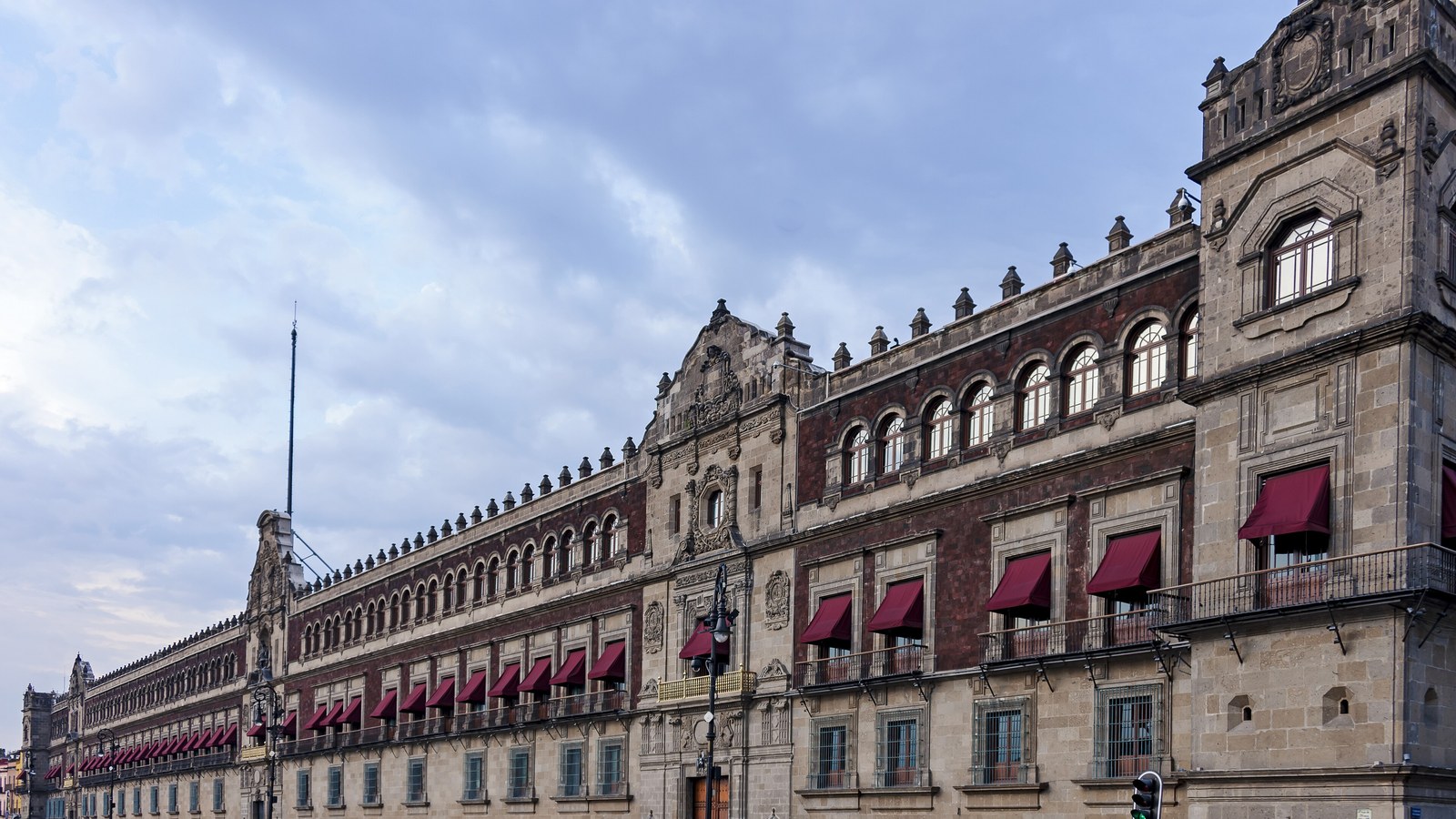
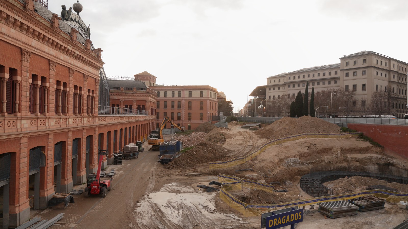
National Palace, Mexico City. The city of signing, not the confirmed hall. Wikimedia Commons, CC BY-SA 3.0.
For context: Boundary Treaty of 1970. The text: UNTS, Treaty to Resolve Pending Boundary Differences.




0 Comments
No comments on this article yet. Be the first!