


On 5 November 1993, in London, D. H. Anderson, for the United Kingdom, and David A. Colson, for the United States, signed two treaties delimiting maritime boundaries in the Caribbean, each in duplicate, authentic text English. One relates to the U.S. Virgin Islands and Anguilla; the other, to Puerto Rico and the U.S. Virgin Islands and the British Virgin Islands. Neither is the Reciprocal Fisheries Agreement of 27 March 1979, which the British Virgin Islands treaty merely takes note of. Neither delimits a boundary with Cuba, the Cayman Islands or the Dominican Republic.
The Anguilla treaty, article I: the boundary, in accordance with international law, between the United States (U.S. Virgin Islands) and the United Kingdom (Anguilla). Article II: a geodetic line connecting 17° 57′ 51″ N, 63° 53′ 53″ W and 17° 56′ 37″ N, 63° 53′ 20″ W, on the North American Datum 1983. The annexed map is for illustration only. Clinton’s message to the Senate of 9 March 1994: the segment is 1.34 nautical miles long, about 40 nautical miles from the U.S. Virgin Islands, and separates fishing and exclusive-economic-zone jurisdiction.
The British Virgin Islands treaty, article I: the boundary between the United States (Puerto Rico and the U.S. Virgin Islands) and the United Kingdom (British Virgin Islands), again on the basis of equidistance. Article II: geodetic lines connecting points 1–50 in the Annex, also NAD 83; the map is illustrative. The Annex begins at 21° 48′ 33″ N, 65° 50′ 31″ W and closes at 17° 57′ 51″ N, 63° 53′ 53″ W — the same starting point as the Anguilla treaty. The presidential message: about 288 nautical miles; it covers territorial sea, fishing and EEZ jurisdiction.
In both texts, article III: on the British side of the line the United States shall not, and on the American side the United Kingdom shall not, claim or exercise for any purpose sovereignty, sovereign rights or jurisdiction with respect to the waters or seabed or subsoil. Article IV: the boundary shall not affect or prejudice either Party’s position on the rules of international law relating to the law of the sea. Article V: ratification; entry into force on the date of the exchange of instruments.
United Nations Treaty Series: No. 32636 (Anguilla) and No. 32637 (British Virgin Islands, with annex and chart), registered by the United Kingdom on 23 February 1996. Force: 1 June 1995, by exchange of ratifications. Intermediate coordinates 2–49 are not listed here.
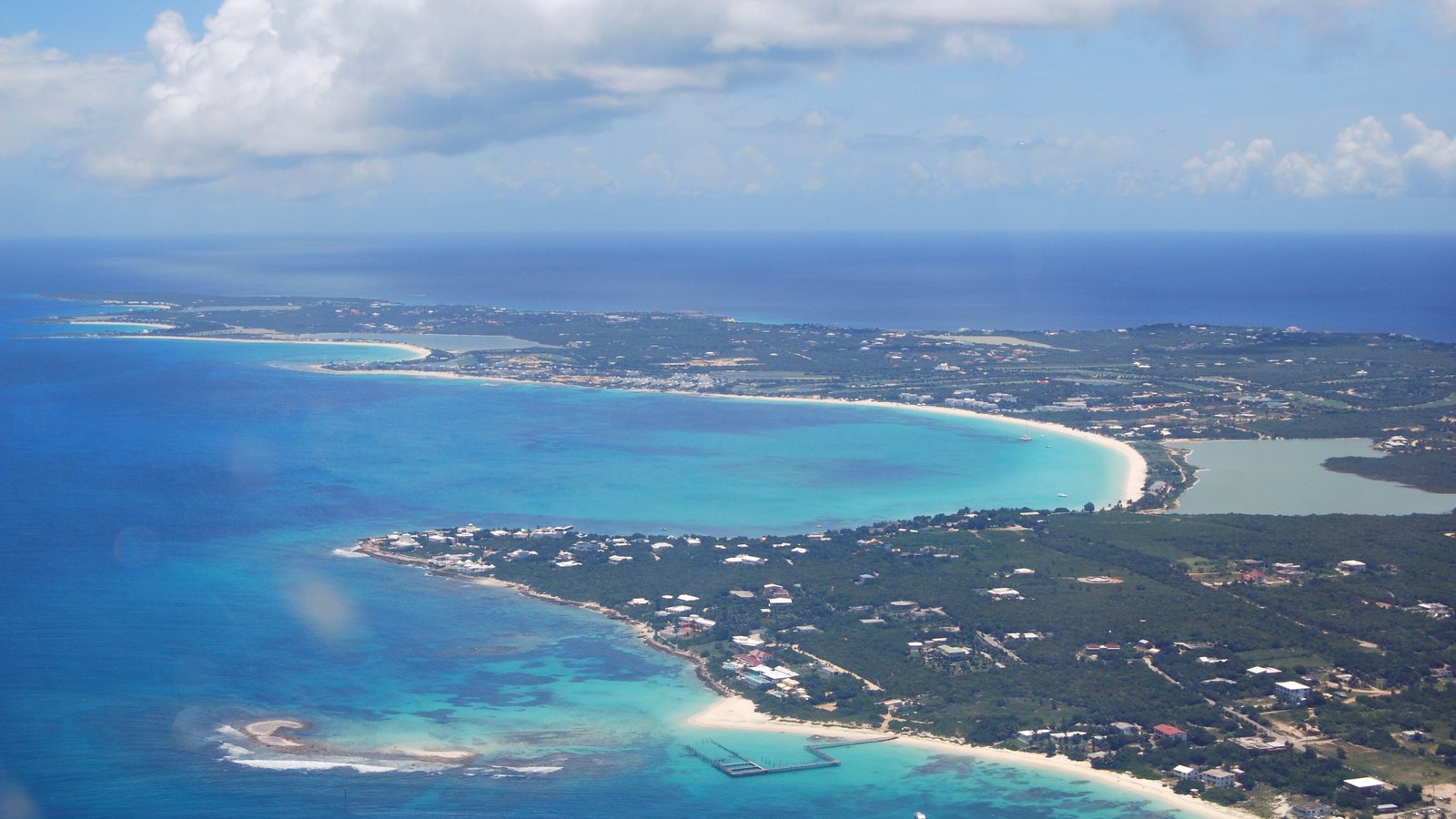
Anguilla, aerial view of the western portion. Wikimedia Commons, CC BY 3.0. Not the chart annexed to the treaty.
For context: 1993 United Kingdom–United States Maritime Boundary Treaties. The text: UNTS No. 32636, U.S. Virgin Islands and Anguilla.











0 Comments
No comments on this article yet. Be the first!