


On 2 January 1930, at Washington, the Convention between the United States of America and Great Britain regarding the boundary between the Philippine Archipelago and the State of North Borneo, a British protectorate, was signed. Two originals. Plenipotentiaries: Henry L. Stimson, Secretary of State, and Sir Esme Howard, British Ambassador. Article V: ratification by the President of the United States, by and with the advice and consent of the Senate, and by His Britannic Majesty; it comes into force on the exchange of the acts of ratification at Washington as soon as possible. The Senate advised consent on 11 February 1930; the President ratified on 21 February 1930; the United Kingdom on 2 November 1932; the exchange at Washington on 13 December 1932. Entry into force: that day. Presidential proclamation: 15 December 1932. Treaty Series 856; 47 Stat. 2198.
The preamble delimits the territory acquired by the United States by the treaties with Spain of 10 December 1898 (Paris) and 7 November 1900. Article I traces the line separating the islands of the Philippine Archipelago from those of North Borneo, starting from a point on the 1898 boundary (4° 45′ N, 120° E), running south along the meridian, then along successive parallels and meridians, passing between Little Bakkungaan and Great Bakkungaan Islands and through Mangsee Channel, to another point on the same 1898 boundary (7° 40′ N, 117° E). This is not a sailing directory: the full coordinates are in the Convention.
Article II: the line is indicated on United States Coast and Geodetic Survey Charts Nos. 4707 and 4720, corrected to 24 July 1929, annexed. If later surveying shows that the described line does not pass between the two Bakkungaan Islands or through Mangsee Channel as on Chart 4720, the boundary in those sectors is understood as the line on the chart. Article III: islands to the north and east of the line, and any islands and rocks traversed by it, belong to the Philippine Archipelago; those to the south and west belong to the State of North Borneo.
Article IV: so long as the Washington Treaty of 6 February 1922 limiting naval armament remains in force, its Article 19 shall apply to islands in the Turtle and Mangsee Groups which, in consequence of the line, fall within the Philippines or North Borneo. If any such island is ceded, sold, leased or transferred to a third party, provision shall be made for the continued application of that Article 19, provided the 1922 treaty is still in force. This is not a handbook of fortification.
The same day, an exchange of notes between Howard and Stimson recognized American sovereignty over certain islands in the Turtle group (Sibaung, Boaan, Lihiman, Langaan, Great Bakkungaan, Taganak, Baguan) and the Mangsee Islands, administered for years by the British North Borneo Company under the arrangement of 3 and 10 July 1907; administration might continue until notice. Later notes in 1932 clarified British ratification.
The Convention does not list here every island of the archipelago. The annexed charts are not reproduced.
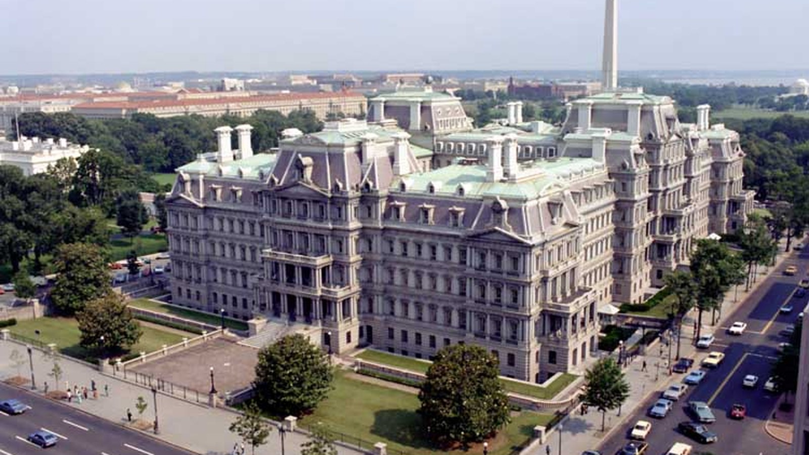
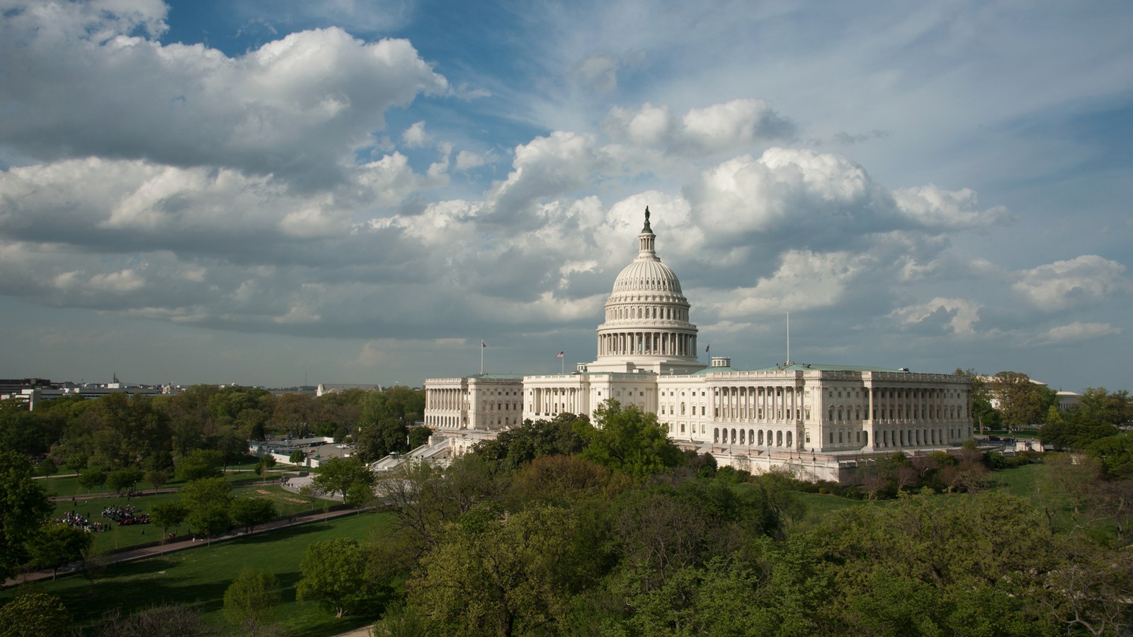
The State, War and Navy Building, Washington, the Department of State’s home at the time of signature, not the signing room. Wikimedia Commons, free licence.
For context: Convention Between the United States and Great Britain (1930). The text: Convention Between the United States of America and Great Britain Regarding the Boundary Between the Philippine Archipelago and the State of North Borneo.



0 Comments
No comments on this article yet. Be the first!