


On 25 October 1983, in Paris, Gilbert Guillaume, for the French Republic, and Sir John Fretwell, for the United Kingdom, signed the Convention on Maritime Boundaries between the two governments. The French and English texts are equally authentic. The preamble calls for a precise and equitable delimitation of the maritime areas around the Tuamotu Archipelago, on the one hand, and Pitcairn, Henderson, Ducie and Oeno Islands, on the other, over which the two States respectively exercise sovereignty.
Article 1 states that the boundary between the French economic zone around the Tuamotu Archipelago and the fisheries zone around the four islands is based on a line of equidistance, drawn from the baselines from which each territorial sea is measured. For France, the baseline follows the Laws of 24 December 1971 and 28 December 1976. For Pitcairn, Henderson, Ducie and Oeno, the baseline is the low-water mark. It is not a Channel boundary and it does not concern Jersey.
Article 2 builds the line from loxodromic arcs linking, in order, six points, labelled V1 to V6, with west longitude and south latitude, in the WGS 72 geodetic system. The first point stands at 133°25′29″ west and 26°34′05″ south; the last, at 131°58′43″ west and 20°45′54″ south. The line, roughly north–south, is drawn by way of illustration on the map annexed to the Convention.
Article 3 provides that this line constitutes the maritime boundary between the zones in Article 1. The Convention does not create a dispute-settlement mechanism and does not alter sovereignty over the islands. It has four articles and a map; it is not a fisheries treaty and it does not create a British economic zone.
Article 4: each Party notifies the other of the completion of constitutional procedures; the Convention enters into force on the date the last notification is received. That date was 12 April 1984. France registered the text with the United Nations Secretariat on 4 September 1984, UNTS No. 23067, volume 1367.
The exchange of notes of 17 December 1992 and 19 January 1993, in force on 1 February 1993, is a separate instrument: London announced an economic zone around the same four islands, within the same limits as the fisheries zone, and proposed that the 1983 line should also separate the two economic zones. The 1988 agreement on the territorial sea in the Straits of Dover is another treaty.
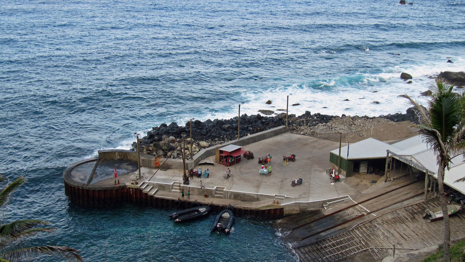
Image: Pitcairn landing site, one of the territories delimited; Jens Bludau, 2010; CC BY-SA 3.0, Wikimedia Commons. Cropped to 16:9.
Source consulted: 1983 France–United Kingdom Maritime Boundary Convention. Treaty text: Convention on Maritime Boundaries, Paris, 25 October 1983 (UNTS 23067).











0 Comments
No comments on this article yet. Be the first!