


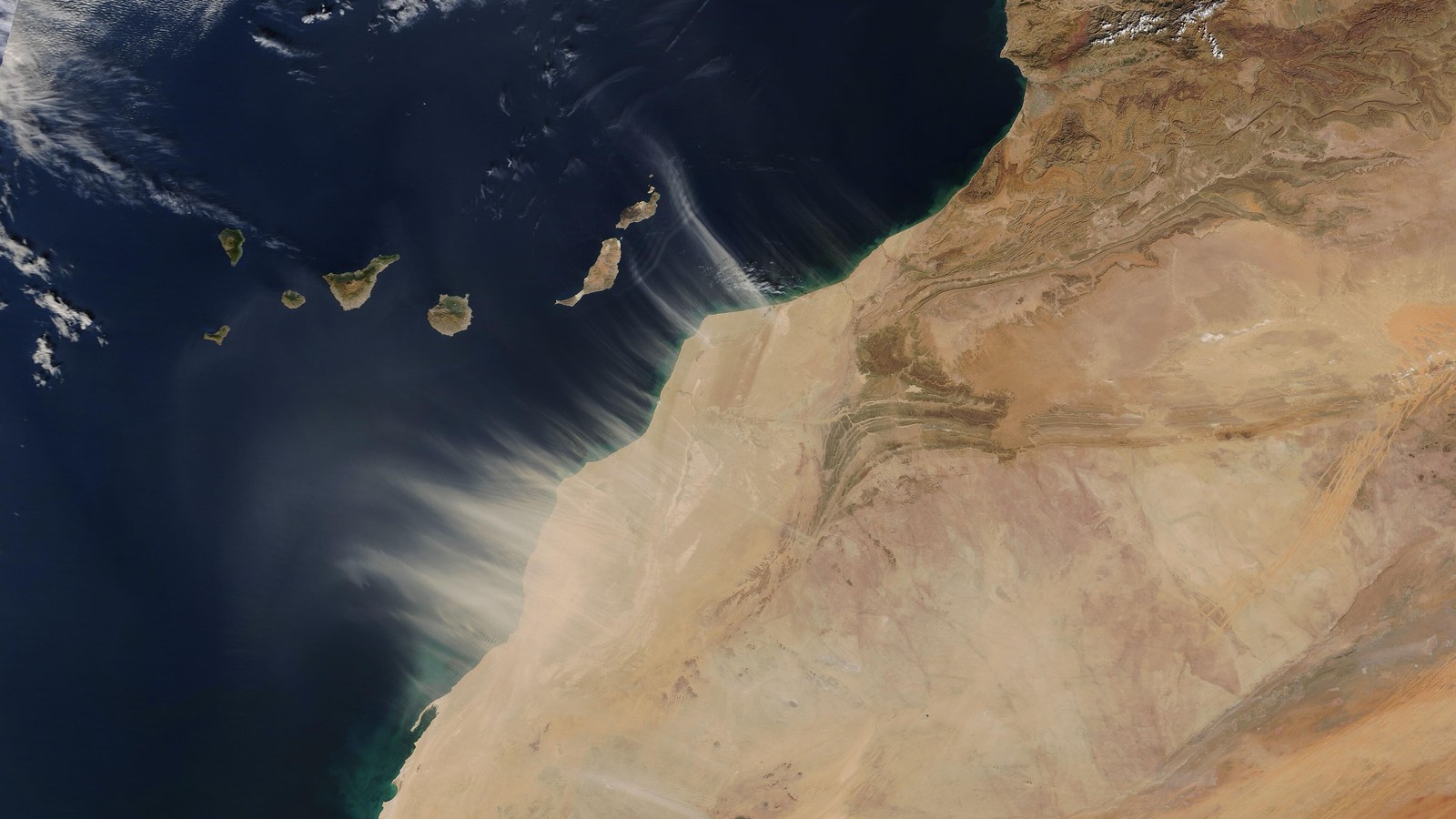
On 27 June 1900, in Paris, France and Spain sign the Treaty of Paris delimiting their West African colonial possessions — especially the borders between French Guinea, Senegal and Spanish Río de Oro / Western Sahara.
The agreement clarifies spheres of influence on the Atlantic African coast after late-nineteenth-century colonial rivalries and complements earlier Franco-Spanish arrangements in the Gulf of Guinea.
The treaty sets map demarcation lines later used as a basis for modern borders among Mauritania, Senegal, Guinea and Western Sahara / Morocco.
Signed in the French capital, it belongs to the series of European bilateral treaties that partitioned Africa without consulting local populations.
For colonial history, 27 June 1900 marks a formal fixing of Franco-Spanish limits in Atlantic West Africa.
The text is documented in treaty collections and African boundary historiography.
The Treaty of Paris of 27 June 1900 remains the reference for Franco-Spanish colonial delimitation in West Africa.
Image: Paris / Africa; Wikimedia Commons. Cropped to 16:9.
Source consulted: Treaty of Paris (1900). Treaty text: Treaty of Paris (1900) — text.










0 Comments
No comments on this article yet. Be the first!