


In Caracas, on 28 March 1978, the United States and Venezuela sign the Maritime Boundary Treaty between the United States of America and the Republic of Venezuela. The depositary is the UN Secretariat; the texts are English and Spanish. It enters into force on 24 November 1980 after ratification.
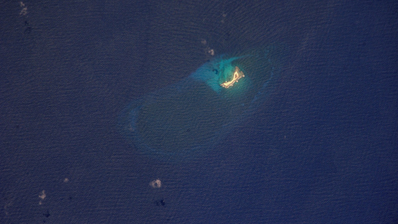
The treaty delimits the maritime boundary between Venezuelan Caribbean islands (including Isla de Aves) and the U.S. territories of Puerto Rico and the U.S. Virgin Islands. The line runs 298.7 nautical miles (553.2 km) in 21 straight segments defined by 22 coordinate points.
About two-thirds of the boundary is an equidistant line between the U.S. Virgin Islands and Isla de Aves. The eastern end is a tripoint with the Netherlands Antilles; the western end is a quadripoint with the Netherlands Antilles and the Dominican Republic.
The instrument belongs to the 1970s wave of maritime delimitations after the consolidation of 200-nautical-mile EEZs. The official text is published by the U.S. Department of State.
The delimitation clarifies rights over the continental shelf and exclusive economic zones in the sector between the Lesser Antilles and Venezuela’s Caribbean archipelago.
The U.S.–Venezuela Maritime Boundary Treaty of 28 March 1978 remains the agreed line separating the maritime spaces of Puerto Rico / the Virgin Islands from those of Venezuela in the eastern Caribbean.
Image: Caribbean; Wikimedia Commons. Cropped to 16:9.
Source consulted: United States–Venezuela Maritime Boundary Treaty. Treaty text: Maritime Boundary Treaty United States–Venezuela (State Department).










0 Comments
No comments on this article yet. Be the first!