


In Peking (Beijing), on 2 March 1963, Foreign Minister of the People’s Republic of China Chen Yi and Pakistan’s Minister of External Affairs Zulfikar Ali Bhutto sign the Agreement on the Boundary between China’s Sinkiang and the Contiguous Areas the Defence of which is under the Actual Control of Pakistan. The authentic texts are Chinese, English and Urdu; the agreement enters into force on the date of signature.
The preamble invokes the Bandung principles and the aim of formally delimiting and demarcating the boundary between Sinkiang (Xinjiang) and the contiguous areas under Pakistan’s actual defence control, in a spirit of equality and mutual accommodation. Article 1 records that the boundary had never been formally delimited and agrees to fix it on the traditional customary line, including natural features.
Article 2 sets the alignment: from the north-western extremity (a peak about 5,630 m), the line generally follows the main watershed between tributaries of the Tashkurgan (Tarim system) and of the Hunza (Indus system), through passes including Kalik, Mintaka and Khunjerab, then along spur crests and mid-channel river courses (Kelechin/Shaksgam, Shimshal) south-eastward. The technical clauses provide for a joint demarcation commission on the ground.
A further article leaves open a fresh treaty after final settlement of the India–Pakistan Kashmir dispute; until then the 1963 alignment applies between China and Pakistan. India rejects the instrument’s validity, arguing Pakistan could not cede territory India claims.
Official talks began on 13 October 1962 amid the Sino-Indian conflict; China accepted adjustments, including grazing lands historically used by Hunza inhabitants. Estimates of areas gained or relinquished differ, but the settled line largely follows the 1899 Macartney–MacDonald Line as modified by Curzon in 1905.
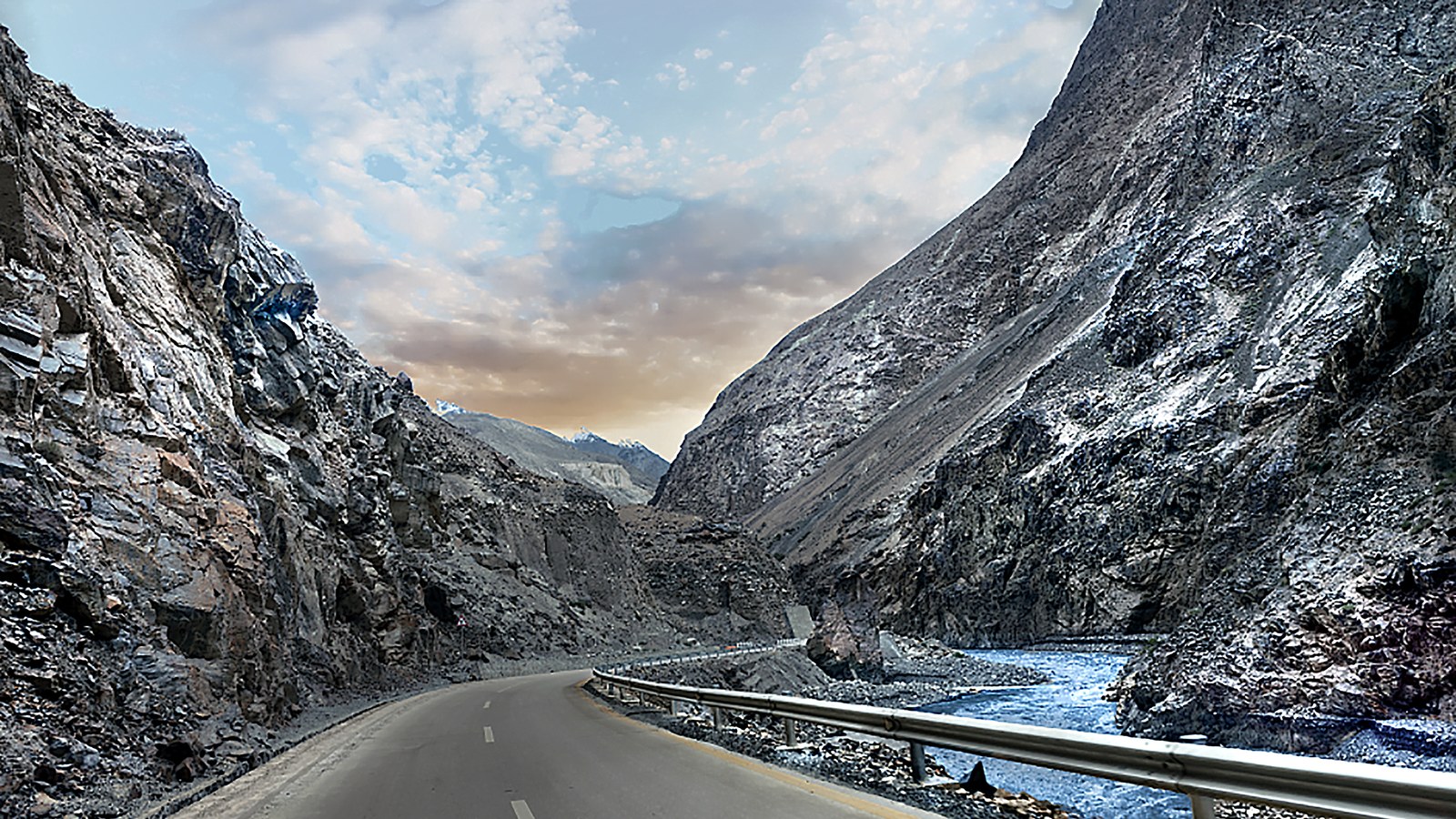
The China–Pakistan boundary agreement of 2 March 1963 thus fixes the Karakoram alignment between Xinjiang and the Pakistan-controlled northern areas of Kashmir, with Khunjerab among the watershed points named in the text.
Image: Khunjerab Pass, Karakoram Highway; Wikimedia Commons (CC BY-SA). Cropped to 16:9.
Source consulted: Sino-Pakistan Agreement. Treaty text: Agreement on the Boundary between China's Sinkiang and the Contiguous Areas (MFA China PDF).




0 Comments
No comments on this article yet. Be the first!